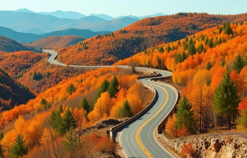
About This Route
America's favorite scenic drive runs 469 miles through Appalachian mountain beauty. No commercial traffic allowed, just flowing curves through forests and past mountain overlooks.
Why ride Blue Ridge Parkway
Blue Ridge Parkway sits in Virginia / North Carolina, USA, and earns its place on this guide for a simple reason: it gives riders something most roads can't — scenery that genuinely makes you stop the bike, with a rhythm that suits a relaxed touring pace.
Across roughly 755 kilometres of asphalt, you'll get a real feel for what riding in this corner of USA is about. It's not the longest route in the region and it isn't trying to be — it's a focused, high-quality stretch that rewards riders who take their time.
What the riding actually feels like
On a easy-rated road like this one, this is a road most riders can enjoy without stress. Sightlines are generally good, corners are predictable, and you won't need racetrack focus to keep things tidy. It's the kind of route where a passenger can actually relax and enjoy the view.
Read the road first, then commit. The combination of surface, sightlines and traffic on this route rewards a smooth, relaxed pace far more than aggressive corner entries. The route's twistiness rating of 3/5 and scenic rating of 5/5 give a fair indication of where to focus: more on letting the landscape unfold than on chasing apex after apex.
Best time of year to ride
The honest window is April-November. In practical terms, this route is at its peak in summer, when the passes are fully open and you have long evenings to ride out the day. If you only have a narrow weather window, aim for a weekday rather than a weekend — you'll share the road with far fewer cars and tour buses, and the popular pull-offs won't be jammed.
Fuel, food and stops
Reliable fuel options along or near the route include Exit to nearby towns. Top up before any long climb — pumps in mountain villages can be closed at lunch or on Sundays.
For food and coffee, Mabry Mill, Blowing Rock are solid stops. Aim for a proper sit-down lunch rather than a vending-machine snack — the locals eat well in this region.
⚠️ Safety and hazards to watch for
Specific hazards on this route include: Deer; Fog; Limited services.
- Wildlife crossings
- Weather changes
- No fuel on parkway
- High-elevation sections close in winter for ice/snow and can close any time for weather or construction — check the NPS real-time closure map; dense fog is common at elevation.
Who this route suits
Blue Ridge Parkway works especially well for photographers and slow-tour riders chasing scenery, cruiser riders who want a comfortable but rewarding day out. Recommended bike types are Touring, Cruiser, but realistically anything in good mechanical condition with decent tyres will do the job — the road matters more than the badge on the tank.
Insider tips
- Fall colors peak mid-October
- Camping and lodges available
- 45 mph speed limit throughout