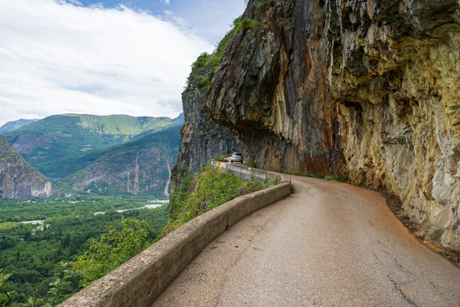
The Alps are not one motorcycle route. They are a network of seasonal pass roads spread across France, Italy, Switzerland and Austria, with very different rules, costs and road character. A good Alpine tour is built around connected valleys and verified pass openings—not around collecting the greatest possible number of famous names in one day.
This guide compares the four main riding regions, shows how the strongest routes connect and explains the planning decisions that matter: snow closures, tolls, vignettes, cycling events, weather and realistic daily distance. Route facts and source links were reviewed on 16 September 2026; always check live road status again on the morning you ride.
Choose the right Alpine region
Italy: technical icons and compact loops
Italy works best for riders who want concentrated pass riding. The Stelvio–Umbrail circuit combines both Stelvio approaches with Val Müstair, while the Sella Ronda links Campolongo, Pordoi, Sella and Gardena in roughly 55 km. Stelvio is tighter and more exposed; the Dolomites offer a denser choice of short loops and bases.
France: the multi-day traverse
The Route des Grandes Alpes is the natural choice for a point-to-point tour. The classic route covers about 720 km from Thonon-les-Bains to Nice, with official variants when a high pass is closed. Four days is a practical minimum; five or six gives weather flexibility and time away from the saddle.
Switzerland: three-pass day circuits
Switzerland suits a fixed-base trip. The Furka–Grimsel–Susten triangle can be ridden from Andermatt or Innertkirchen, but each pass opens independently. A vignette is required only for Swiss motorways and expressways—not for every ordinary road or border crossing.
Austria: managed scenic toll roads
Austria's best-known high road is the Grossglockner, a 48 km seasonal toll road with gates, published opening hours and dedicated stopping areas. It is easier to navigate than an improvised pass chain, but weather can still close the road and the ticket is separate from Austria's motorway vignette.
Four routes worth building a trip around
1. Stelvio and Umbrail from Bormio
The documented loop runs from Bormio to the Umbrail junction, descends through Santa Maria Val Müstair, returns to Italy through Glorenza and Prato, and climbs the 48 numbered eastern hairpins before descending to Bormio. The official Bormio itinerary is about 99 km. Its difficulty comes from altitude, first-gear turns, mixed traffic and rapidly changing weather rather than distance.
2. Sella Ronda from Corvara or Arabba
The Sella loop is short enough to look trivial on a map, yet four hours is a sensible allowance once traffic, photographs and coffee are included. Campolongo provides the gentlest start, Pordoi the sustained hairpins, Sella the closest rock-wall scenery and Gardena the broadest views. Scheduled Sellaronda Bike Days close all four passes to motor traffic.
3. Furka, Grimsel and Susten
Furka is the narrowest and most exposed of the three. Grimsel climbs through granite and reservoir infrastructure, while Susten uses long engineered curves and several tunnels. A closure on any one road breaks the triangle and forces a substantial diversion. Canton Uri recommends checking the live pass map on the day of travel.
4. Grossglockner High Alpine Road
The Grossglockner operator describes 48 km and 36 bends between the approaches at Fusch/Ferleiten and Heiligenblut. The 2,571-metre highest road point is on the optional Edelweissspitze spur; Hochtor is part of the through road, and Kaiser-Franz-Josefs-Höhe is another separate spur. Budget at least half a day if you want both viewpoints.
A realistic seven-day Alpine itinerary
- Day 1 — Arrive in AndermattSettle in, check the Swiss pass report and ride only a short acclimatisation loop if the weather is stable.
- Day 2 — Furka, Grimsel and SustenAllow a full day for the triangle. Refuel in Andermatt or Innertkirchen and turn back if cloud closes the exposed Furka section.
- Day 3 — Andermatt to BormioUse the day's open cross-border route rather than forcing a saved itinerary. Avoid Swiss motorways if you have not bought a vignette.
- Day 4 — Stelvio and UmbrailRide the 99 km circuit early, carrying identity documents for Switzerland and checking for cycling-event closures.
- Day 5 — Transfer to the DolomitesMake this a lower-intensity travel day. Corvara, Arabba and Canazei are practical bases for the next loop.
- Day 6 — Sella RondaRide the four passes before peak traffic, then add Falzarego or Giau only if energy, weather and road status justify it.
- Day 7 — Weather reserve or GrossglocknerUse the final day as a buffer. Grossglockner is worthwhile only when the gates are open and the forecast supports the transfer.
This itinerary intentionally leaves room for weather. Booking a different hotel every night may look efficient, but it removes the ability to delay an exposed pass when thunderstorms, snow or fog arrive.
Season and closure planning
June to September is the broad planning window, not a guarantee. Furka opened fully in late May in 2026, while Susten was still affected by closures later. Stelvio, Galibier and Iseran use their own snow-clearing schedules. Grossglockner publishes a defined operating season and daily gate hours but can still close temporarily in poor weather.
- Check every named pass separately; an open valley road does not prove the summit is open.
- Look for cycling days and races, which may close an otherwise snow-free road to motor traffic.
- Recheck after overnight storms, not only at the start of the holiday.
- Carry warm and waterproof layers even when the valley forecast is hot.
- Download an offline map with lower-altitude alternatives before entering mountain valleys.
Tolls and vignettes without the confusion
Swiss motorcycles need a CHF 40 vignette for motorways and expressways in 2026. Ordinary pass roads are not covered simply because they are part of the national road network. Austria uses a separate motorway vignette, while Grossglockner has its own scenic-road ticket. France and Italy charge many motorways by distance, but their mountain pass roads are usually outside those toll systems. Paid tunnels are separate again.
Route planning apps can accidentally place a short motorway connector into an otherwise toll-free itinerary. Inspect the road number and toll setting rather than assuming “avoid tolls” has preserved the route you intended.
Motorcycle and rider preparation
Any mechanically sound road motorcycle can tour the Alps. Low-speed balance, good tyres and brakes in known condition matter more than engine size. A very tall or heavily loaded bike makes repeated first-gear hairpins harder, while a small fuel tank requires more deliberate valley stops.
- Check tyre pressure cold and inspect tread before the first mountain day.
- Reduce luggage width and secure anything that can move under braking.
- Expect cyclists, coaches and vehicles crossing the centre line on tight bends.
- Stop before fatigue degrades low-speed control; pass cafés are part of the plan, not lost time.
Continue planning
Compare the detailed Italy, France, Switzerland and Austria guides, then use the individual route pages for the latest reviewed itinerary notes.