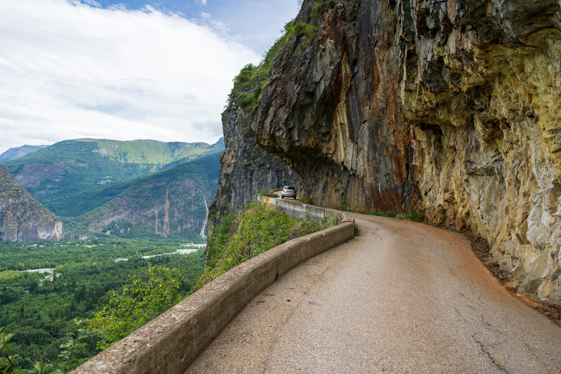
Photo: Jöran Maaswinkel / Unsplash
About This Route
The classic Route des Grandes Alpes runs about 720 km from Thonon-les-Bains on Lake Geneva to Nice. Its value is not a claimed pass count but the sequence of distinct regions and high roads, including Roselend, Iseran, Galibier, Izoard, Vars and a southern finish through the Maritime Alps.
Route plan
- Thonon-les-Bains to BeaufortLeave Lake Geneva through the Chablais, then work south via the northern passes toward the Beaufortain. This opening day is greener and more settled than the high-Alpine stages that follow.
- Beaufort to ValloireCross Cormet de Roselend, descend toward Bourg-Saint-Maurice and climb the Col de l'Iseran before continuing through the Maurienne valley toward Valloire. This is a long day with a major high pass, not a section to start late.
- Valloire to BarcelonnetteLink Télégraphe and Galibier, pass Briançon and cross Izoard and Vars. Fuel and food are straightforward in the valley towns but sparse on the exposed summit sections.
- Barcelonnette to NiceChoose the current open southern variant and continue through the Maritime Alps to Nice. Bonette, Cayolle and other alternatives are not interchangeable when snow, rockfall or events close a pass, so confirm the day's route before leaving.
What the road is really like
This is a chain of mountain roads rather than one continuous ribbon of hairpins. Northern sections mix villages and pasture; the central passes are higher and more exposed; the southern valleys become drier, warmer and narrower. The changes in weather and concentration over several days are more demanding than any single corner.
Most of the route is paved and manageable on a touring motorcycle, but summit traffic includes cyclists, camper vans and vehicles stopping for photographs. Tunnels can be wet and cold, while gravel appears after storms and road repairs. Smooth, conservative riding preserves energy for the later stages.
Planning the day
Four days is a practical minimum for a motorcycle tour with stops; five or six is better if you want shorter days or side trips. Treat the 720 km figure as the classic main itinerary, because the official site also publishes variants with different distances.
The complete high route is seasonal. Iseran, Galibier and the southern high passes have separate snow-clearing dates, and cycling events can reserve roads for non-motor traffic. Build a lower-altitude escape route into every day and check official departmental road reports each morning.
Fuel, food and stops
Reliable fuel options along or near the route include Every 100km approximately. Top up before any long climb — pumps in mountain villages can be closed at lunch or on Sundays.
For food and coffee, Mountain refuges throughout are solid stops. Aim for a proper sit-down lunch rather than a vending-machine snack — the locals eat well in this region.
⚠️ Safety and hazards to watch for
Specific hazards on this route include: Altitude; Sudden storms; Cyclists.
- High altitude passes
- Variable weather
- Long daily distances
- High passes (Iseran, Galibier, Bonette) open on snow-dependent dates that vary yearly and close with the first autumn snow — check current conditions before riding.
Who this route suits
Route des Grandes Alpes works especially well for photographers and slow-tour riders chasing scenery, experienced riders confident on technical terrain, adventure bike riders who don't mind the occasional rough patch. Recommended bike types are Touring, Adventure, but realistically anything in good mechanical condition with decent tyres will do the job — the road matters more than the badge on the tank.
Insider tips
- Allow 3-4 days minimum
- Book mountain refuges ahead
- Start from Thonon-les-Bains